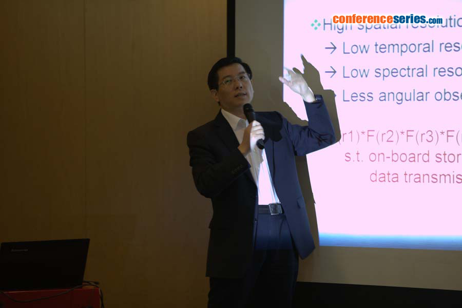
Bo Huang
Chinese University of Hong Kong
Hong Kong
Title: Unified Satellite Image Fusion for Sustainable Urban Environment
Biography
Biography: Bo Huang
Abstract
The recent decades have witnessed the launch of a large number of orbiting satellite sensors with different spatial, temporal, spectral, and angular (STSA) characteristics, resulting in dramatic improvements in the ability to acquire images of the Earth surface, and a boom in remote sensing (RS) applications in environmental, ecological, and disaster monitoring. However, current RS technology cannot meet the requirement of monitoring dense and dynamic urban environments with complex structures and changes that require high spatial detail, frequent coverage, fine spectral resolution, and multi-angle observation. This is largely due to the fact that there is no satellite sensor that can achieve simultaneously high STSA resolution. Unified satellite image fusion aims to circumvent this obstacle by achieving high resolution with respect to all the image properties for a virtual satellite sensor. The generated high STSA resolution imagery can greatly contribute to the exploration and improvement of existing satellite image resources for urban environmental applications by detecting more details in a more accurate manner. This presentation will introduce to you the speaker’s endeavors along this line of research, including both the methodologies and applications in environmental and land use monitoring.
